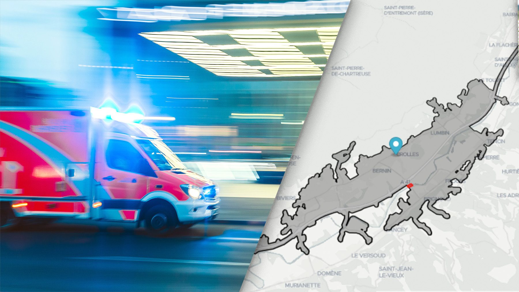
A major challenge for emergency response is to provide the right service as quick as possible. The new “polygon exclusion” function allows quickly adapting to unforeseen circumstances by excluding impassable areas from the routing.
In an emergency situation, quick response times are crucial. They help emergency workers minimise the risk of further injury or damage, and increase the chances of a positive outcome of the incident for those involved. Whether in accidents, emergency medical services or fires, a large part of this response time is determined by the travel of emergency vehicles. However, roads can suddenly become impassable due to sudden events such as environmental factors or protesters blocking roads.
To enable developers and planners to improve their responses in emergency situations, Targomo has released a new feature. The “Polygon Exclusion” feature makes it possible to exclude specific areas (polygons) from the routing at any time. This could be necessary, for example, if there is a road blockage, an area is affected by a fire or a flood causes roads or bridges to become inaccessible – EMS providers can adjust their analyses on-the-fly, without waiting for road data updates.
However, the new feature not only improves rapid response in emergency situations, but also enables better planning in the event of disasters. Combined with other Targomo data services, emergency planners are able to see how many people need to be cared for or evacuated within a prescribed minimum time. If a bridge washed out, how many people would be inaccessible and need to be cared for? What countermeasures should be initiated? Are the existing locations of, for example, the police or fire brigade sufficient to provide adequate care, or are more locations needed?
“Emergency management planning is hard, and we need to model the unforeseen. Faced with this challenge, Targomo responded with an efficient and innovative solution,” says Espen Bjerkås, Chief Technology Officer (CTO) at Ada Technologies that uses TargomoAPI to develop and optimise disaster response solutions in Norway.
“The new feature can be used to answer a variety of safety-related questions,” says Adam Roberts, product manager of TargomoAPI. “We developed the feature explicitly according to the wishes and requirements of our rapid response customers, as theywere unable to find such a feature anywhere in the world. The feature is now actively deployed in countries on several continents, including the US, Norway, and Germany, and we hope this will help many people in emergency situations faster and better.”

Targomo provides high-performance developer tools for building state-of-the-art geospatial analytics tools, improving location search and personalising the user experience. The API portfolio is characterised by fast processing and very precise routing and built-in customisation options that allow developers to adapt their solution to all individual scenarios

Comments