Isochrone API
Key Features
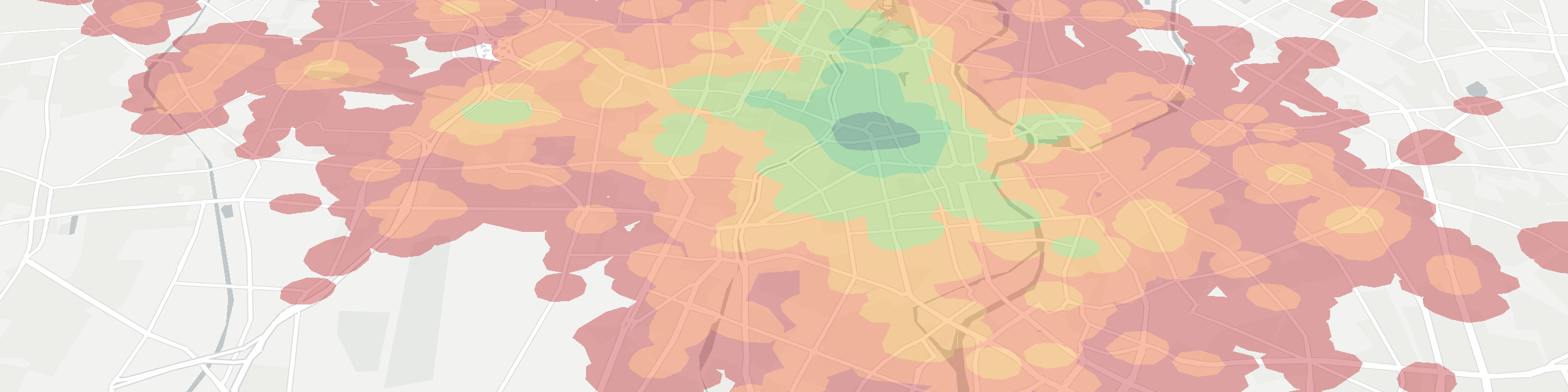
- Get polygons to show time (isochrones) and distance (isolines) in self-explanatory maps
- Available for car, bike, walk, transit and multi-origin travel scenarios
Use Scenarios
Single source isochrone polygons
Visualize a 30-minute bike catchment area around a restaurant to see where timely bike deliveries can be made.
Multi-source isochrone polygons with UNION mode
Find the total area which is served by a retail chain - and visualize the whitespots which are not covered.
Multi-source isochrone polygons with INTERSECTION mode
Find the area where a couple can rent an apartment which is within a reachable distance of both of their workplaces.
Get isochrone polygons as SVG-optimized compact json or compatible GeoJSON
For use with our leaflet and googlemaps client libraries (using SVG layers), set "serializer":"json". For GeoJSON polygons you can use anywhere, set "serializer":"geojson" and "srid":4326.
Return time-optimized or distance-optimized polygons
"edgeWeight":"time" to get isochrone polygons (shortest time optimization), or "edgeWeight":"distance" to get iso-distance polygons (shortest distance optimization).
Inputs
Basic inputs (see docs for more)
- sources: array of starting points
- edge weight: “time” or “distance” optimization
- travel type: “walk”, “bike”, “car”, “transit”
- rings: array of edge weights to be returned as polygon rings
- intersection mode: “average”, “union”, “intersection”, “none”
- serializer: “json” or “geojson” output format
Outputs
Basic outputs (see docs for details)
- json serializer: Custom json format, in EPSG:3857, used by Targomo-js libs
- geojson serializer:" GeoJSON MultiPolygons, 1 feature per ring
Operations counting strategy for public use
maxRoutingTime: each 60 minutes is counted as 1 operation.
sources: each source point = 1 operation.
routing intersections: intersection modes other than UNION apply a 2x multiplier.
counting factors are multiplicative…
examples:
- 1 source, 60 minutes = 1 operation. 2 sources,
UNION, 60 minutes = 2 operations. - 2 sources,
INTERSECTION, 60 minutes = 4 operations.
200,000 single-source, 60-minute isochrones could be requested with the 300 € monthly use-credit.