Routing API
Get detailed routing information for car, bike, walk and transit.
Key Features
- Run many routings (A-X) in a single request, getting comparable options
- Detailed transit routes including transfers and connections
Use Scenarios
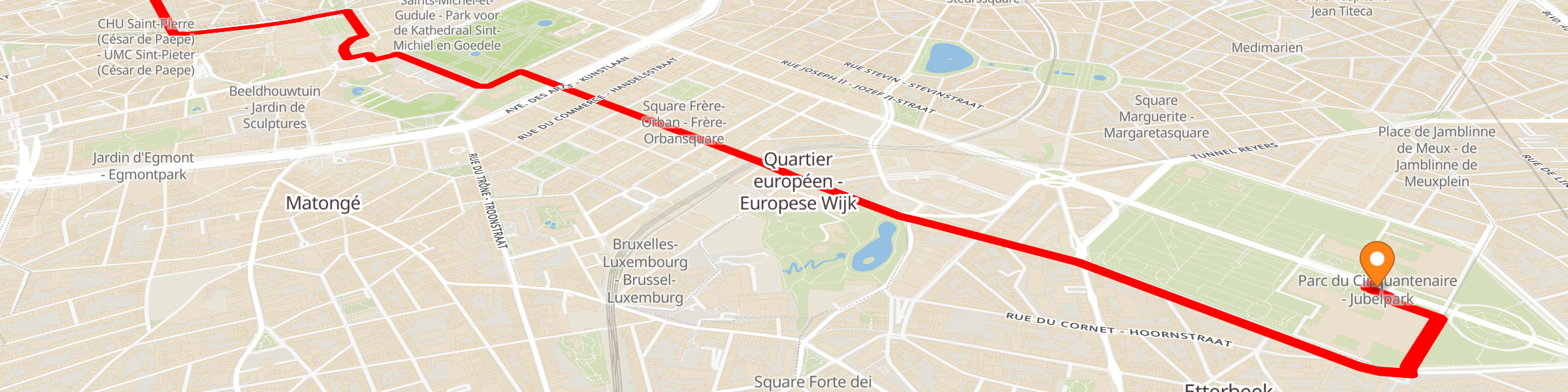
Get detailed route as compact json or compatible GeoJSON
"pathSerializer":"compact" for lightweight, "pathSerializer":"geosjson" for lines you can use anywhere.
Return time-optimized or distance-optimized routes
"edgeWeight":"time" to get a route that takes the shortest time, "edgeWeight":"distance" to get a route that covers the shortest distance.
Inputs
Basic inputs (see docs for more)
- sources: array of starting points
- targets: array of destination points
- edge weight: “time” or “distance” optimization
- travel type: “walk”, “bike”, “car”, “transit”
- max edge weight: maximum time/distance to search for routes
- path serializer: “compact” or “geojson” output format
Outputs
Basic outputs (see docs for details)
- compact serializer: Custom json format, in EPSG:3857, used by Targomo-js libs. Array of routes - 1 for each source-target
- geojson serializer:" Array of GeoJSON “LineString” features - 1 for each source-target
Operations counting strategy for public use
maxRoutingtime: each 60 minutes is counted as 1 operation.
sources & targets: each source point to 100 targets = 1 operation.
counting factors are multiplicative…
examples:
- 1 source, 100 targets, 60 minutes = 1 operation.
- 2 sources, 200 targets, 60 minutes = 4 operations.
200,000 single-source, single-target, 60-minute routes could be requested with the 300 € monthly use-credit.